


When planning a drone flight, understanding altitude measurement isn’t just technical jargon. It affects how a drone senses its height and maintains safe operation throughout a mission. In drone height measurement, True Altitude (AGL) and Barometric Altitude (MSL) serve different purposes and influence how flight controllers interpret height-above-ground information during autonomous or manual flight.
What Are AGL and MSL in Drone Flight?
Above Ground Level (AGL) refers to the vertical distance between the drone and the surface right below it. As terrain rises or drops, AGL changes dynamically because it always measures from that specific point on the ground. This is critical for avoiding obstacles and complying with operational limits such as those established in many small-UAV regulations.
Mean Sea Level (MSL) describes altitude relative to an averaged sea-level surface. Barometric altimeters or GPS systems typically provide MSL values. While MSL offers a consistent reference for navigation charts and airspace management, it does not show how far a drone is above the nearby terrain, making it less effective for immediate safety decisions in low-altitude flight.
The Role of Benewake LiDAR in Drone Height Measurement
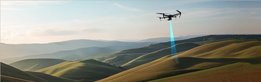
Sensors based on LiDAR technology bridge the gap between these altitude references by directly measuring the distance from the drone to the ground below. At Benewake, LiDAR altitude sensors work by emitting laser pulses downward and calculating the time it takes for their reflection to return. That direct “time-of-flight” distance provides high-frequency and accurate height data relative to ground level, which is crucial for true height-above-ground (AGL) awareness.
Compared to barometric methods, which are influenced by air pressure changes, Benewake LiDAR maintains consistent performance over variable terrain and environmental conditions. This makes the drone’s altitude hold, terrain following, and automated landing routines more reliable because the flight controller receives real-time ground distance rather than inferred pressure differences.
Conclusion
Understanding the difference between True Altitude (AGL) and Barometric Altitude (MSL) allows drone operators to choose the correct measurement strategy for their tasks. In applications where accurate height-above-ground control matters, such as aerial mapping, inspection, or low-altitude operations, integrating a Benewake lidar sensor improves precision and flight stability.
Ready to get precise altitude data for your drone? Choose a Benewake LiDAR sensor for reliable drone height measurement today.